


Compact rugged GPS navigator — the Garmin eTrex 32x features a sunlight‑readable color display, built‑in 3‑axis compass, barometric altimeter, and preloaded topographic maps for reliable outdoor navigation.
High‑precision FOIF GNSS/RTK surveying receiver — rugged, field‑ready instrument ideal for land surveying, construction layout, and geospatial mapping.

Garmin eTrex 22x — compact handheld GPS navigator with sunlight‑readable 2.2″ colour display and preloaded TopoActive maps. Reliable for hiking, biking or off‑grid navigation.

Garmin eTrex SE — compact, rugged handheld GPS navigator with multi‑GNSS support, sunlight‑readable screen and long battery life — ideal for hiking, geocaching, and outdoor navigation.
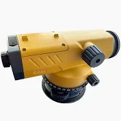
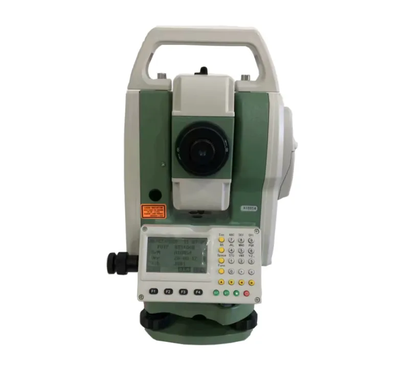
TOPCON AT‑B4 – precise automatic optical level with 24× magnification, ultra‑short 20 cm focus and water‑resistant housing, ideal for accurate land surveying, civil works and construction leveling.

Thuraya Satellite Phone – reliable satellite communication device with global coverage, durable design, long-lasting battery, and easy-to-use interface, ideal for remote locations, maritime navigation, and emergency communication.
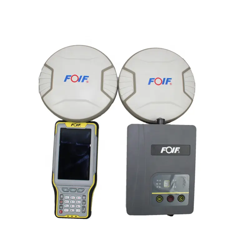
FOIF A90 RTK — high‑precision GNSS receiver with RTK capabilities, ideal for surveying, land measurement and geospatial mapping with centimeter‑level accuracy.

Motorola R7 Two‑Way Radio — rugged handheld communication device with clear audio and long‑lasting battery, ideal for field work, security teams, and on‑site coordination.


Smart Watches
Smart Watches

Premium Thuraya Satellite Watch
Premium Thuraya Satellite Watch


